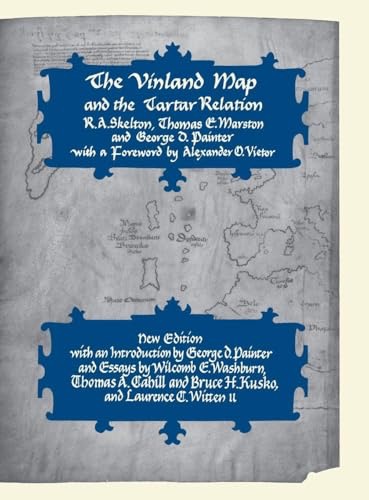
The Vinland Map and the Tartar Relation by: Skelton R. A. And Thomas G. Marston And George O. Painter
Hardcover. New Haven CT, Yale University Press, 1st Revised Ed., 1995, Book: Very Good, Dust Jacket: Very Good, Hardcover in a bright dust jacket, 291 pages. The Vinland Map, dated to about AD1440 - at least 50 years before Columbus landed in the Americas - is a map of the world that shows an outline of the northeast American coast and a legend describing its discovery in about 1000 by Leif Eiriksson, the Norseman from Greenland. The map was published by Yale University Press in 1965 and generated much debate. Chemical analysis of the ink later suggested the map might be a forgery, but recent appraisals of both scientific and humanist evidence argue that it is indeed authentic. Now this classic of historical cartography is available in a new edition. It reprints unaltered the original text on the Vinland Map and an account of Friar John of Plano Carpini's mission to the Mongols from 1245 to 1247, with which the map had at some stage been bound. To this have been added a new introduction by George D. Painter who discusses the verification of the map's authenticity; a new essay by Wilcomb E. Washburn, Director of the Smithsonian's American Studies Programme, on the map's provenance and the tests that have been performed on it; and a new discussion of the map's compositional and structural aspects by Thomas A. Cahill and Bruce H. Kusko, of the Crocker Historical and Archaeological Projects at the University of California, Cle3an copy. This is a heavy and oversized book and will require extra shipping. International customers please ask for a shipping quote before purchasing.